With satellite navigation systems already in many people’s cars and phones, you perhaps think of it as a relatively mature technology? We still regard it as an emerging technology because the applications of satellite navigation are increasing every day.

There are two main factors that drive this growth. The first is how the satellite navigation data is integrated with other systems so that the applications deliver real value for users, and the second is that the reliability and accuracy keeps improving. To give an example, satellite navigation data that can pinpoint a user to the nearest metre has far more applications than if it can only find them to the nearest 10 metres. And if that position can be trusted to be 100% accurate, it opens up even more applications such as in the fields of safety and security.

This is where CGI can help.

Much of the work we do in satellite navigation involves ensuring the systems are secure, reliable and fit for purpose. We validate and verify the information being broadcast, for example on EGNOS (Europe’s local augmentation system for GNSS constellations) and we develop ground infrastructures and control systems.

CGI in Satellite Navigation

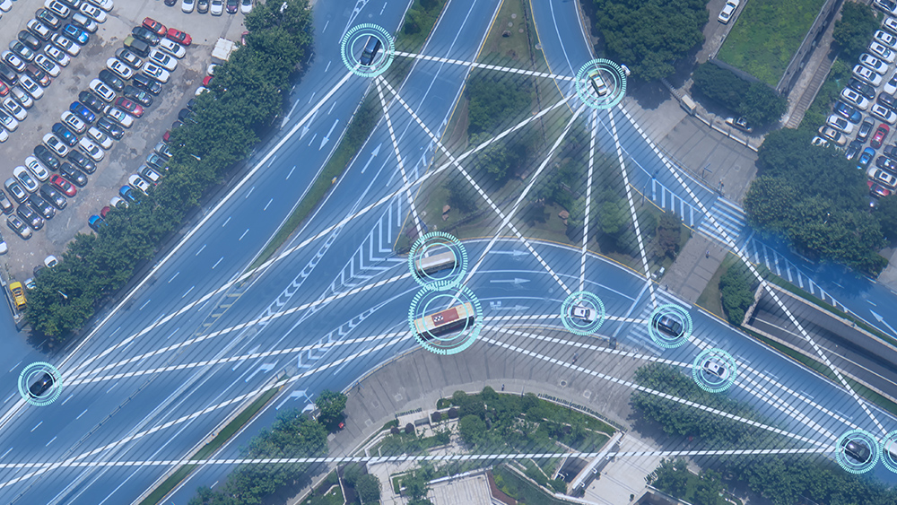
The important thing to note here is that without the value added applications they deliver, satellites are just expensive pieces of hardware. This is another area where we can help. Our expertise runs as deep in industries such as finance, transport, and energy, as it does in space. We deliver operational systems that incorporate satellite navigation elements to clients in many sectors. For instance, road management and intelligent transport systems, fleet management, advanced driver assistance, rail and road infrastructure, UK air traffic control, location-based services, machine-to-machine (M2M) and emergency applications.